GPS Camera Map
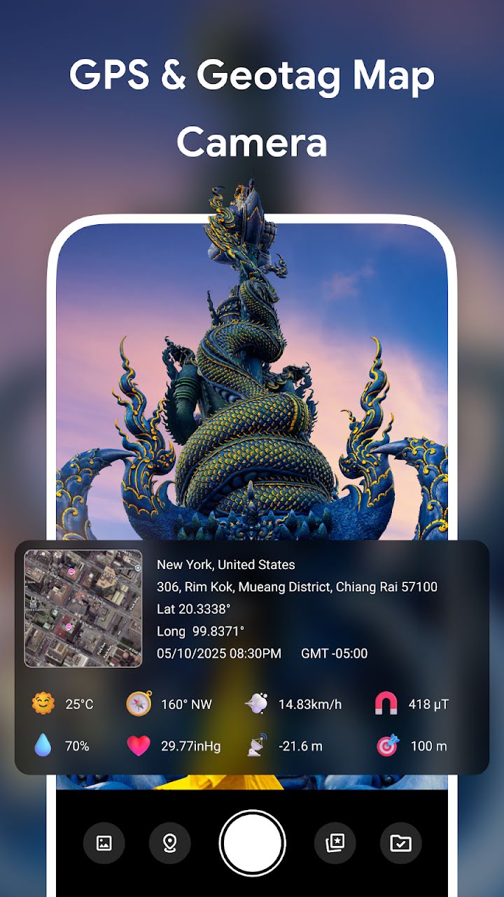
The GPS Camera Map App lets you take photos with real-time location, date, and time stamps directly displayed on your images. Whether you’re traveling, inspecting sites, or recording fieldwork, this app helps you document every moment with accurate geographic and environmental data.